MASW seismic near surface geophysical applications, surveys, equipment, and software.
MASW or the multi-channel analysis of surface waves the method was a tremendous breakthrough in the field of geophysics. Historically, surface waves presented an immense obstacle for near-surface CDP seismic reflection surveys and necessitated an exorbitant amount of time and effort to lessen their effects. Today, Rayleigh waves, a type of surface wave, can be analyzed using dispersion analysis to determine shear wave velocities as a function of depth. Park, Miller, and their colleagues’ groundbreaking revelation that multi-channel seismographs resulted in enhanced dispersion images and post processing software was met with great enthusiasm.
Geophysical methods like seismic refraction or borehole techniques have historically been relied upon, as well as seismic cone penetrometer tests (SCPT). Borehole methods measure arrival times from the surface down a borehole and between two separate holes – dubbed cross-hole. Despite many believing that cross-hole techniques are superior to other strategies, dispersion analysis has gained substantial support in several scenarios due to factors such as resolution quality, affordability, reliability, and user accessibility.
MASW is an important type of near-surface seismic method that has multiple applications in geophysics. Given that others have estimated surface waves may make up around two-thirds of the total seismic signal, there is a great deal of research and innovation taking place. This website is dedicated to providing resources regarding MASW seismic exploration, including information about different types of surveys (e.g., active source, passive microtremor source, 1-D, 2-D, and 3-D), organizations that provide services and equipment, and other considerations like theory, concepts, innovations, concerns, and credits. In addition, this site offers links to other websites devoted to learning more about MASW seismic methods. With its wide range of resources, this website serves as a valuable resource for anyone looking to learn more MASW seismic methods.
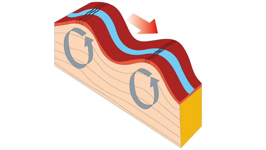
Visit the page about “Why MASW seismic methods for geology, seismic site classification, voids, sinkholes, fill, and anomalies“
As the title suggests, this page explains why MASW seismic methods are beneficial. Using MASW seismic methods has enabled us to gain a better understanding of what lies beneath the surface and how best to use it. We can now quantify material stiffness, locate voids with back scatter analysis or BSA, map fill, monitor grouting activities, assess soil compaction projects – while also detecting unusual subsurface conditions or anomalies. As a result, MASW seismic methods are an invaluable tool for geologists and those involved in engineering projects looking to gain insights into the subsurface. This page explains why these techniques are so important and how they can be used effectively.
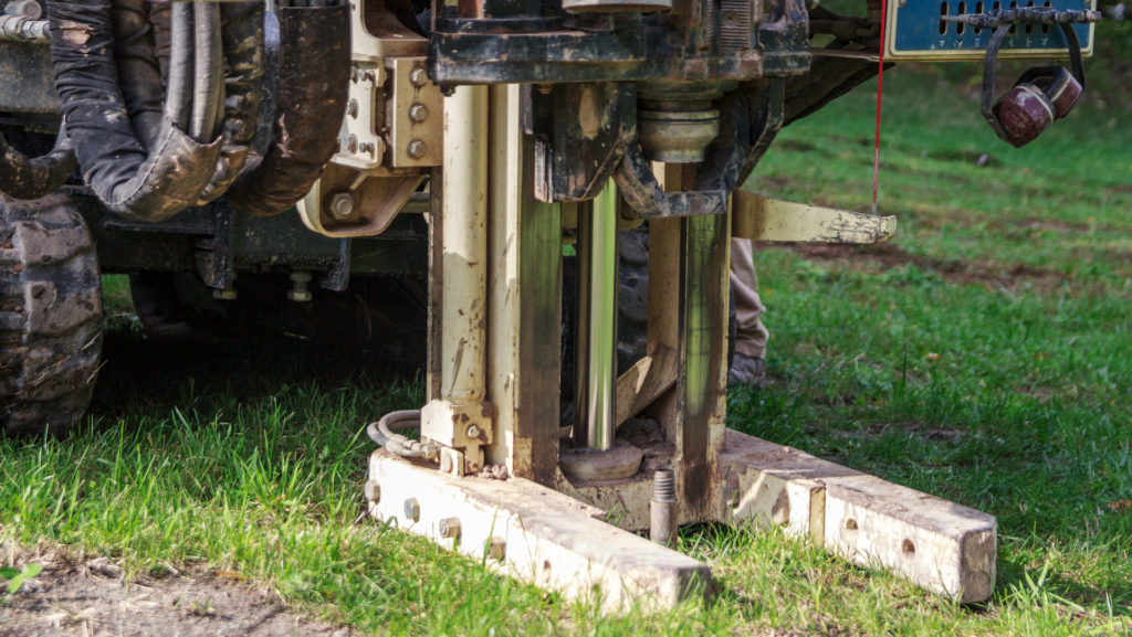
Visit the page about “1-D, 2-D, and 3-D MASW surveys with active, passive, and combined sources, methods, and applications”
There are several combinations and permutations for the data acquisition and analysis of Rayleigh waves. While MASW and ReMi are two popular methods, often one must decide if the method is going to depend on active seismic energy or passive microtremor sources. In addition, a survey design must consider whether or not to use 1-D, 2-D, or 3-D representations. 1-D presentations are very useful, especially for site soil classifications. On the other hand, a 2-D depiction of shear wave velocities as a function of depth along a line or a 3-D plot can yield enlightening details and Vs30 seismic site classification.
Surveys using passive energy (e.g. MASW or ReMi methods) lend themselves to applications like Vs30 seismic site characterizations or foundation analysis. Most passive sources are microtremors that originate from geologic events, the environment, or human activities. Specifically, activities like vehicles bouncing along a road, train traffic, jets, construction sites, factory operations, mine blasting, excavating, or building demolition are good sources of passive Rayleigh wave energy. In contrast, active MASW surveys integrate a controlled impact source placed at predetermined locations along the survey line. Multiple blows with a sledgehammer on a metal plate or an elastic wave generator (EWG) produces records that have a repeatable and stackable Rayleigh wave response, as well as generating useful passive energy. This approach often yields a well-defined phase velocity spectrum or dispersion image. Better quality images make it more intuitive for processors to identify and extract the fundamental mode.

Visit the page about “MASW seismic services, processing, equipment, rentals, and software”
Clearly, MASW seismic surveys are a popular geophysical method used to explore the near surface of the Earth. Anyone interested in a MASW seismic survey may need help. This website proudly supports three businesses that strive to provide reliable solutions. First, Geophysical Services LLC is a leading provider of MASW seismic surveys and related services, having accumulated over 35 years of experience in this field. Besides MASW seismic surveys, Geophysical Services LLC also offers electrical resistivity imaging (ERI), electromagnetic terrain conductivity surveys, and low-frequency deep penetrating ground penetrating radar (GPR). Moreover, Geophysical Services LLC can integrate these methods to provide a more comprehensive view and for higher levels of confidence when it comes to understanding the subsurface.
For anyone interested in conducting a Rayleigh wave survey or processing the data, Park Seismic LLC and Geophysical Equipment Rental LLC are ideal destinations to start. Developed by Dr. Choon Park, ParkSEIS is user-friendly, reliable, modernized software package accompanied by fantastic customer service. Dr. Choon Park is a leading pioneer of MASW analysis having spent several years of research with Kansas Geologic Survey (KGS). Even if you lack the technical know-how on processing your own data, have experts from Park Seismic take care of it instead!
Are you looking to undertake a MASW survey? Then consider renting MASW seismic equipment from Geophysical Equipment LLC, such as land streamers, geophones, and Geometrics’ renowned Geode seismographs. You won’t regret it! Taking advantage of their extensive experience in the field, they offer an array of assistance with getting setup and operating software. Whether you’re looking for a MASW seismic survey or just processing the data, Park Seismic and Geophysical Equipment Rental LLC are the perfect places to start. Their expertise in MASW will help you get the most out of your seismic survey so that you can make informed decisions about prospective sites. With both companies’ commitment to providing customers with exceptional service, you’ll be in safe hands from beginning to end!
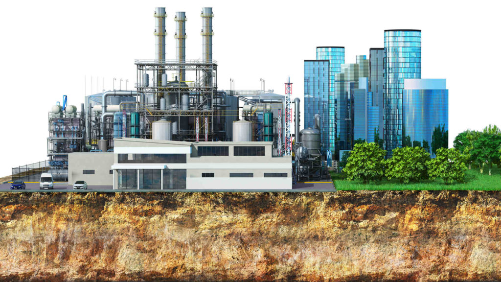
Visit the page about “MASW case histories on bedrock mapping, mine reclamation, vibratory hammers”
The Multi-Channel Analysis of Surface Waves (MASW) technique is a proven over the years to be highly effective at detecting sinkholes and mapping bedrock for soil thickness and locating valleys. Apart from these, MASW is recognized as an effective method for identifying phosphatic clays or slime pits that are commonly found in phosphate mining operations. This is important because phosphatic clays pose a significant risk to reclamation or property development and can lead to costly delays if not detected early. In addition to mining operations, MASW has also been identified as a useful tool for supporting the design of renewable energy projects. Accurate mapping of bedrock topography provides detailed information about the underground environment. This information can be used to optimize the design and placement of solar and wind farms. The key advantage of MASW is its ability to produce highly accurate and reliable maps of bedrock formations up to 50 feet deep for foundation analysis.
Two successful studies showcase the potential of using vibratory hammers as an MASW source to accurately map bedrock formations. In these studies, a sledgehammer and vibratory hammer generated surface waves that were then analyzed using advanced data processing techniques. The results accurately revealed problematic areas, providing significant insights into the potential of MASW as a robust geophysical mapping technique for a wide range of applications.

Visit the page about “Special MASW content on theory, concepts, innovations, concerns, and credits”
The content on this page is organized in sections to help the reader navigate through the material. Each section provides an introduction and overview of the information and links to further resources. This is a valuable resource for anyone interested in learning more about MASW theory, concepts, innovations, concerns, and finding out those who make MASW what it is today. By exploring this page and its resources, individuals can gain a better understanding of how to use MASW effectively in their projects. To get the most out of MASW, it is important to understand the theory and concepts behind it. The content on this page is intended as a launching point for further study of MASW. For more detailed information, it is recommended that individuals seek additional resources, such as books, articles, and tutorials.
The quality and accuracy of MASW results are dependent on generating and properly interpreting the overtone images. Mastering the properties of Rayleigh waves, their dispersion, interpreting and inverting the extracted fundamental modes, and lastly generating models of the subsurface is elementary knowledge. This is what MASW is all about. To keep pushing seismic exploration techniques forward, we must explore active/passive source roadside methods, optimized nonlinear expansion of geophones, vibrating energy sources, and land streamer designs. Using these components is essential for creating low-frequency MASW seismic data that form dispersion images – which can then be analyzed to lead us to shear wave velocities and models of depths and thicknesses in geological strata or conditions at depth.
Why MASW seismic methods for geology, seismic site classification, voids, sinkholes, fill, and anomalies
1-D, 2-D, and 3-D MASW surveys with active, passive, and combined sources, methods, and applications

MASW seismic services, processing, equipment, rentals, and software
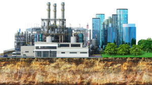
MASW case histories on mapping bedrock, mine reclamation, vibratory hammers

Special MASW content on theory, concepts, innovations, concerns, and credits
Contact MASWSeismic.com
Credits for MASW Research, Development, and Case Histories
Finally, without the hard work and dedication of countless individuals, the advancement of Rayleigh wave dispersion analysis would not be possible. We wish to extend a humble apology to those whose contributions have gone unrecognized and express our appreciation for all those who have given their time, energy, and expertise to make this technology available to the public. To acknowledge some of the extraordinary achievements that have been made in this field, here are a few of the people and organizations whose contributions should be recognized:
- Bullen, K.E., 1963, An introduction to the theory of seismology, 3rd ed.; Cambridge University Press, London, 381 pp.
- Dobrin, M.B., and Savit, C.H., 1988, Introduction to geophysical prospecting, 4th ed.: McGraw-Hill, Inc., New York, 867 pp.
- Lunne, T., 1997, Cone penetration testing in geotechnical practice; Blackie Academic & Professional, London, 312 pp.
- Miller, R.D., Xia, J., Park, C.B., and Ivanov, J., 1999, Multichannel analysis of surfaces waves to map bedrock: The Leading Edge, v. 18, no. 12.
- Park, C.B., Miller, R.D., and Xia, J., 1999, Multi-channel analysis of surface waves (MASW): Geophysics, v. 64, no. 3, p. 800-808.
- Park, C.B., Miller, R.D., and Xia, J., 2001, Offset and resolution of dispersion curve in multichannel analysis of surface waves (MASW): Proceedings of the SAGEEP 2001, Denver, Colorado, SSM-4.
- Park, C.B., Miller, R.D., and Miura, H., 2002, Optimum field parameters of an MASW survey [Exp. Abs.]: SEG-J, Tokyo, May 22-23, 2002.
- Park, C.B., 2005, MASW⎯Horizontal resolution in 2-D shear-wave velocity (Vs) mapping: Kansas Geological Survey, Open-file Report 2005-4.
- Satish Pullammanappallil, William Honjas, and John N. Louie, Determination of 1-D Shear Wave Velocities Using the Refraction Microtremor Method, From the Internet.
- Heisey, J. S., Stokoe II, K. H., and Meyer, A. H., 1982, Moduli of pavement systems from spectral analysis of surface waves: Transportation Research Record No. 852, 22-31.
More disclaimers
The information provided by MASWSeismic.com is often based on opinion and clearly not a replacement for studying books and manuals, common sense, experience, or for acquiring the education necessary to conduct successful geophysical surveys. A background in physics, geology, geophysics, engineering, and/or mathematics benefits survey designers and operators. If one is looking for geophysical reference material, one can find a variety of material by searching the internet (e.g., manufacturers’ websites or government agencies). Because there is always the potential for misinformation here and throughout the internet, it is highly recommended that one goes through all procedures at the office or home base before leaving for a project. Surely, it is very important to experiment with geophysical equipment over known conditions and to understand how the equipment operates and responds. As noted throughout the site, visitors are not allowed access, unless they agree to the terms, conditions, and report errors and omissions for review.
